Greenwoods Inn

Greenwoods Inn

Greenwoods Inn (Сринагар,Индия)

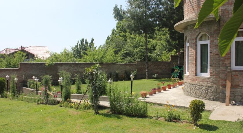
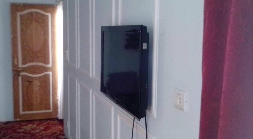
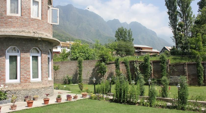
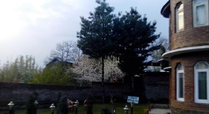
Категория отеля: 3-звездочный отель
Адрес: Ishber,Nishat, 191121 Сринагар, Индия
Описание: Located 2.6 km from Jewel in the Crown of Kashmir, the beautiful Dal Lake, Greenwoods Inn operates a 24-hour front desk to welcome and assist guests. It features a lush green garden where guests can relax.The fan-cooled clean rooms here will provide you with a satellite TV and a seating area. Featuring a shower, private bathrooms also come with free toiletries and towels. Some rooms have a mountain view.At Greenwoods Inn you will find newspapers at the lobby. Other facilities offered include tour desk, laundry and luggage storage. The property offers free parking.The inn is 13.4 km from the popular Lal Chowk. The skiing destination of Gulmarg is 62.5 km. The Srinagar Airport is 22.7 km away while the Jammu Tawi Railway Station is 309 km.The in-house dining area serves local, Indian and Chinese delights. Room service is available for private dining.
Еда и питье:
На свежем воздухе: Сад
Парковка: Бесплатно! Бесплатная Общественная парковка на месте (предварительный заказ не требуется) .
Услуги: Доставка прессы
Спорт и отдых: Поле для гольфа (в пределах 3 км)
Сервис: Доставка еды и напитков в номер, Прокат автомобилей, Трансфер от/до аэропорта (платный), Круглосуточная стойка регистрации, Экскурсионное бюро, Услуги по продаже билетов, Камера хранения багажа, Прачечная, Дневная уборка номера
Интернет: Доступ в интернет отсутствует.
Языки общения:
Время заезда/выезда: C 12:00 / До 12:00
Домашние животные: Размещение домашних животных не допускается.
Банковские карты:
Номерной фонд: Мини-гостиница при ресторане: 7 номеров
Координаты: ш. 34.13093834398855 д. 74.87894743680954 на карте
 

Каталог отелей.

Игры ⚽ Поможем написать курсовую

Полезное


Смотреть что такое "Greenwoods Inn" в других словарях:

  • Greenwoods Inn Dharamshala — (Dharamshala,Индия) Категория отеля: 1 звездочный отель Адрес: Green Vall …   Каталог отелей

  • Blackberry River Inn — Moseley House Farm U.S. National Register of Historic Places …   Wikipedia

  • National Register of Historic Places listings in Litchfield County, Connecticut — Location of Litchfield County in Connecticut This is a list of the National Register of Historic Places listings in Litchfield County, Connecticut. This is intended to be a complete list of the properties and districts on the National Register of …   Wikipedia

  • Cragg Vale — Coordinates: 53°41′56″N 1°59′38″W / 53.698937°N 1.993904°W / 53.698937; 1.993904 …   Wikipedia

  • Mudumalai National Park — Mudumalai Tiger Reserve   national park   IUCN Category II (National Park) …   Wikipedia

  • Penrith, Cumbria — infobox UK place country = England latitude= 54.6675 longitude= 2.7512 official name= Penrith population = 14,756 shire district= Eden shire county = Cumbria region= North West England constituency westminster= Penrith and The Border post town=… …   Wikipedia

  • Addingham — For the parish in Cumbria formerly named Addingham, see Hunsonby. Coordinates: 53°56′00″N 1°53′00″W / 53.9333°N 1.8833°W / 53.93 …   Wikipedia

  • Cross Roads, West Yorkshire — Coordinates: 53°50′12″N 1°55′51″W / 53.836625°N 1.9307647°W / 53.836625; 1.9307647 …   Wikipedia

  • Norfolk, Connecticut —   Town   Seal …   Wikipedia

  • Bradford — For the larger local government district, see City of Bradford. For other uses, see Bradford (disambiguation). Coordinates …   Wikipedia


Поделиться ссылкой на выделенное

Прямая ссылка:
Нажмите правой клавишей мыши и выберите «Копировать ссылку»